Few rivers in the United States capture the spirit of a state quite like the Wabash River does for Indiana.
Stretching across the heart of the Midwest, it has long been regarded as a symbol of identity, resilience, and natural beauty.
For centuries, it has served as a lifeline for communities, carrying stories of early settlers, Native Americans, and the development of Indiana itself.
It holds the honor of being Indiana’s official state river and remains the longest free-flowing river east of the Mississippi River.
Where the Wabash River Begins
- Located near Fort Recovery, Ohio
- Length is approximately 30 miles
- Shallow, narrow, and filled with natural debris
- Used by Native Americans and French explorers for travel and trade
- Frequent log jams and water level drops
A modest beginning near Fort Recovery, Ohio, marks the start of the Wabash River.
It begins as a small, winding stream that flows for about 30 miles through Ohio before entering Indiana.
Its upper stretches are narrow, shallow, and often blocked by fallen trees, giving it a raw, natural look typical of an untouched waterway.
During low-water seasons, log jams often slow or stop its flow. These blockages form natural barriers and contribute to the distinct rhythm of the river’s movement.
Early settlers traveling in small boats found these areas difficult to navigate, yet they learned to rely on the river as a dependable route.
Native Americans regarded the Wabash as both a spiritual boundary and a vital resource, while French explorers saw it as a gateway for trade that connected them to other parts of the region.
Even in its earliest form, the Wabash carried meaning, purpose, and promise.
Course Through Indiana
- Length in Indiana is over 475 miles
- The drainage area is around 33,000 square miles
- The river goes through cities like Lafayette, West Lafayette, Terre Haute, and Vincennes
- It goes through the following counties: Montgomery, Parke, Vermillion, Vigo, and others
- Shades State Park and the Wabash River Conservation Area
- Herons, otters, beavers, bass, and migratory birds
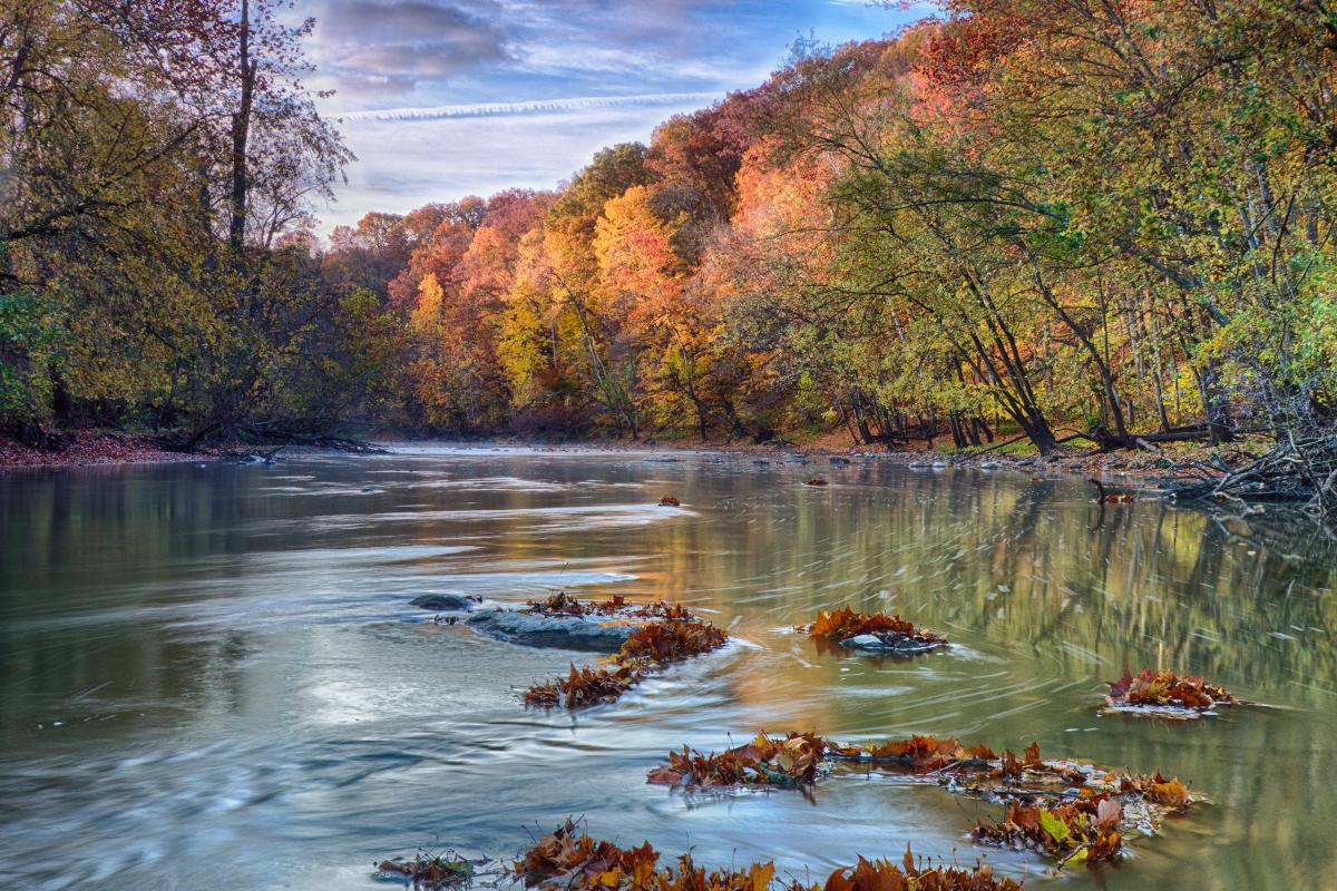
Once it crosses into Indiana, the Wabash transforms into a defining part of the state’s geography.
It travels for over 475 miles, draining about 33,000 square miles, nearly two-thirds of Indiana’s total land area.
Its wide flow links farmlands, forests, and towns, creating a path that ties together both nature and civilization.
Major cities such as Lafayette, West Lafayette, Terre Haute, and Vincennes owe much of their history and development to the river’s steady presence. It serves as both a natural resource and a connector between communities across the state.
A significant portion of the river flows through the Wabash River Conservation Area, starting near Shades State Park.
This region provides essential habitat for species such as herons, beavers, otters, and bass, while also helping maintain the ecological balance of the area.
Floodplains and wetlands around the river create fertile ground and serve as natural water filters.
Where Does It End?
- Confluence with the Ohio River near Mount Vernon, Indiana
- The total length is roughly 500 miles
- Supports floodplains, fish habitats, and bird migration routes
- Connects Indiana’s waterways to the Mississippi system
- Erosion, sediment transport, and seasonal flooding sustain soil and habitat renewal
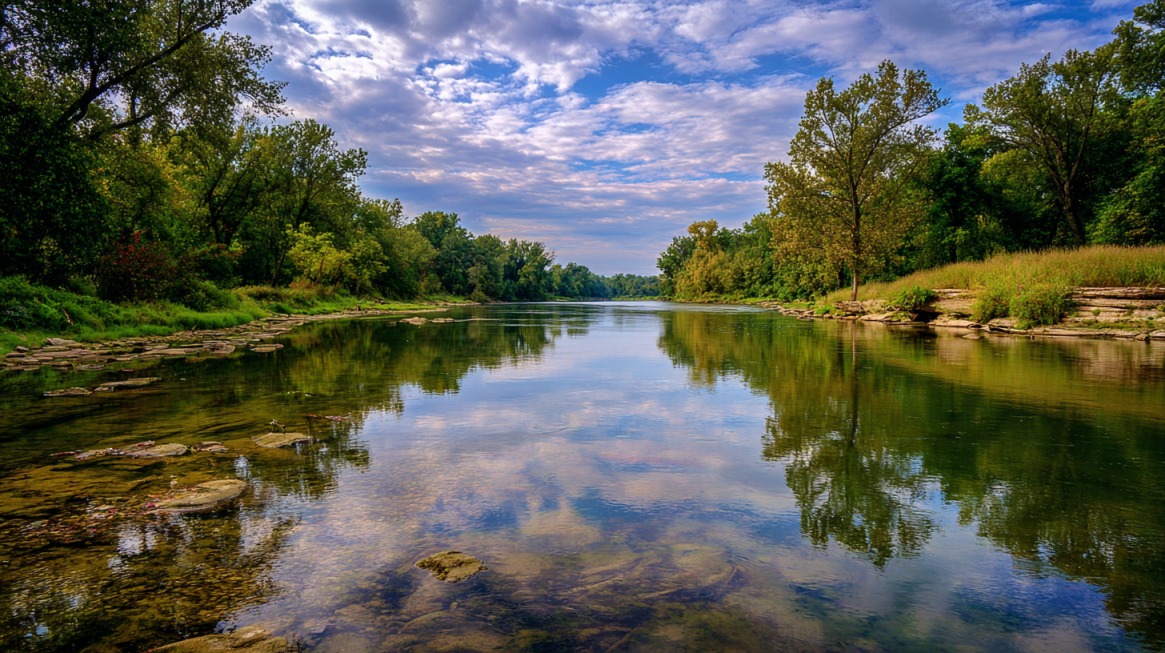
The Wabash River completes its long course in southern Indiana, joining the Ohio River near Mount Vernon.
This meeting point represents the river’s transition from a local feature to part of a vast water system that connects to the Mississippi River.
Erosion and sedimentation constantly reshape its banks, changing the flow and creating new paths over time.
Flooding, while often disruptive, renews the surrounding soil with nutrients, supporting both agriculture and wildlife habitats.
The lower stretches of the Wabash are crucial for water management, flood control, and biodiversity.
Fertile floodplains near the mouth support nesting birds, fish breeding grounds, and plant growth essential to the ecosystem.
Its waters sustain species like carp, catfish, and paddlefish, while also serving as a critical migration route for waterfowl.
Read more: Check out the best campsite you can find at Raccoon Lake State Recreation Area for an amazing family adventure and a full day of fun in nature!
The Bottom Liune
Tracing the Wabash River from its modest start near Fort Recovery, Ohio, to its confluence with the Ohio River near Mount Vernon reveals a story of endurance, beauty, and significance.
It serves as Indiana’s natural backbone: linking history, ecology, and culture in a continuous flow of life.
Students, residents, and visitors alike can find inspiration in its waters, learning how geography and heritage intertwine in shaping the identity of an entire state.